The orienteering route, or ground, is located within the city of Liepāja and consists of many control sites that are popular tourist places. You are free to make your own route, as navigation between control sites is not specified.
In total, the route includes 29 tourism sites and places located in the part of the city between the Jaunliepāja residential neighbourhood and Ezerkrasts. The route includes sites such as the Roman garden, the Julianna courtyard, Horse Island, Seaside Park, Peter Market, the Concert Hall “Great Amber”, Kristaps Porziņģis outdoor basketball ground and other places.
The route can be carried out at any convenient time, either on foot or on a bicycle. The start and finish stage is located at the Liepāja Regional Tourism Information Office.
You can also get online access and download maps here.
There is no specific sequence for control sites; everybody develops their own route, planning the most accurate and rapid pathway possible. It is a great opportunity to challenge friends, family, or colleagues by competing with each other for the quickest finish. You can change the distance length and complexity by diversifying the order of the control sites. You can also adjust the length of the distance by visiting only part of them. The most important thing is to check in at the start and finish points to record the number of sites visited and the time spent in the distance.
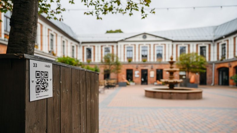
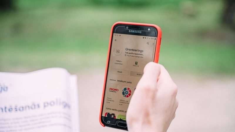
You can learn more about every tourist place located near the control site when checking the site by scanning the QR code, adjusted to it. To be able to record the time spent at the site and compare it with others, marking is done with the “Qrenteering” mobile application.